
Palabras clave
Siglo XVI
reales de minas
mapas
secreto
Minas-España
colonización de tierras
España-Aspectos socioeconómicos
Europa-Geografía histórica-Mapas
Cómo citar

Resumen
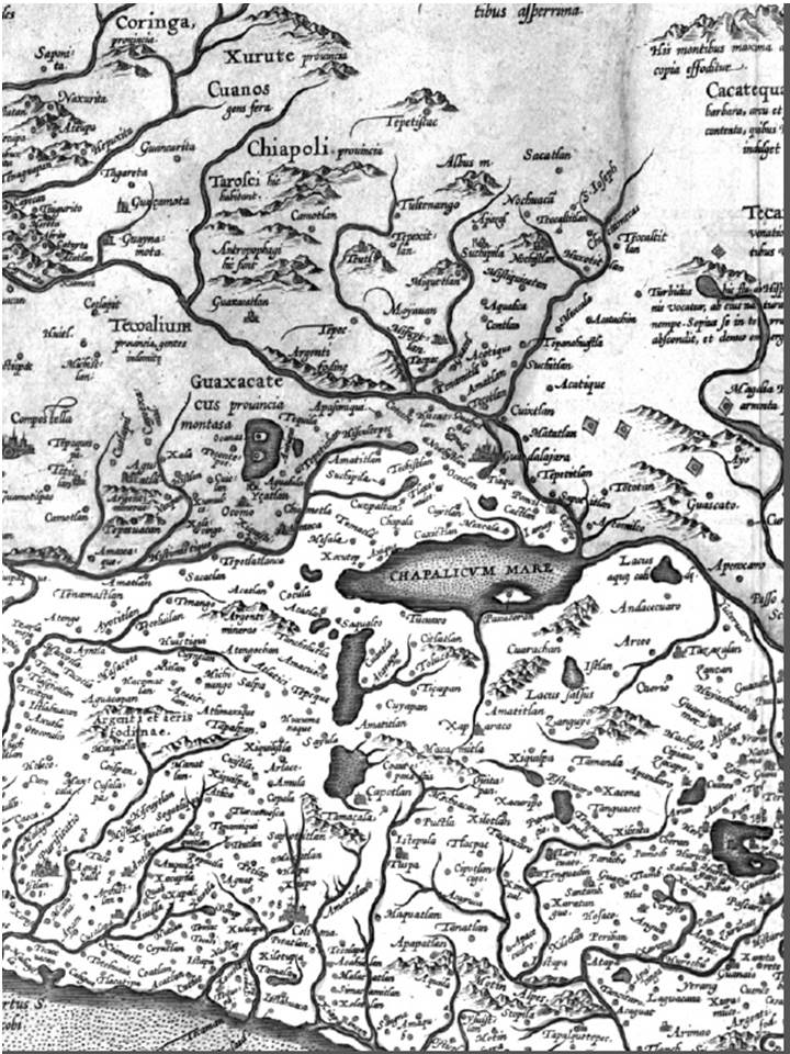
La Corona española logró que ninguno de los numerosos reales de minas de la Nueva España apareciera en los mapas publicados en Europa por más de 80 años para proteger sus intereses. Su estrategia funcionó hasta que los mismos personajes a los que se les había encargado este ‘secreto de Estado’, empezaron a difundir informaciones sobre la ubicación de estos yacimientos que aportaban tanto al tesoro Real.La revista Apuntes se encuentra registrada bajo la licencia Creative Commons Reconocimiento 4.0 Internacional. Por lo tanto, esta obra se puede reproducir, distribuir y comunicar públicamente en formato digital, siempre que se reconozca el nombre de los autores y a la Pontificia Universidad Javeriana. Se permite citar, adaptar, transformar, autoarchivar, republicar y crear a partir del material, para cualquier finalidad (incluso comercial), siempre que se reconozca adecuadamente la autoría, se proporcione un enlace a la obra original y se indique si se han realizado cambios. La Pontificia Universidad Javeriana no retiene los derechos sobre las obras publicadas y los contenidos son responsabilidad exclusiva de los autores, quienes conservan sus derechos morales, intelectuales, de privacidad y publicidad.
El aval sobre la intervención de la obra (revisión, corrección de estilo, traducción, diagramación) y su posterior divulgación se otorga mediante una licencia de uso y no a través de una cesión de derechos, lo que representa que la revista y la Pontificia Universidad Javeriana se eximen de cualquier responsabilidad que se pueda derivar de una mala práctica ética por parte de los autores. En consecuencia de la protección brindada por la licencia de uso, la revista no se encuentra en la obligación de publicar retractaciones o modificar la información ya publicada, a no ser que la errata surja del proceso de gestión editorial. La publicación de contenidos en esta revista no representa regalías para los contribuyentes.